
You may not think that maps are helpful anymore and we do not blame you because in all honesty, who reads them anymore? Everything has gone digital and we have moved away from the traditional use of the map. It is no longer for directions because we have easier phone apps for that now, but that does not mean that the map has disappeared altogether. In fact, the map is still very much alive and well but it has just evolved into something different.
We use them now for jokes on the internet or to display information that we would otherwise not even think of. Here are some examples of those kinds of maps that break America apart in various ways and show you a side of the country that you never knew before. Sure, phone apps help us navigate the real world, but let’s not forget our routes, the old-school maps that everything was built off of.
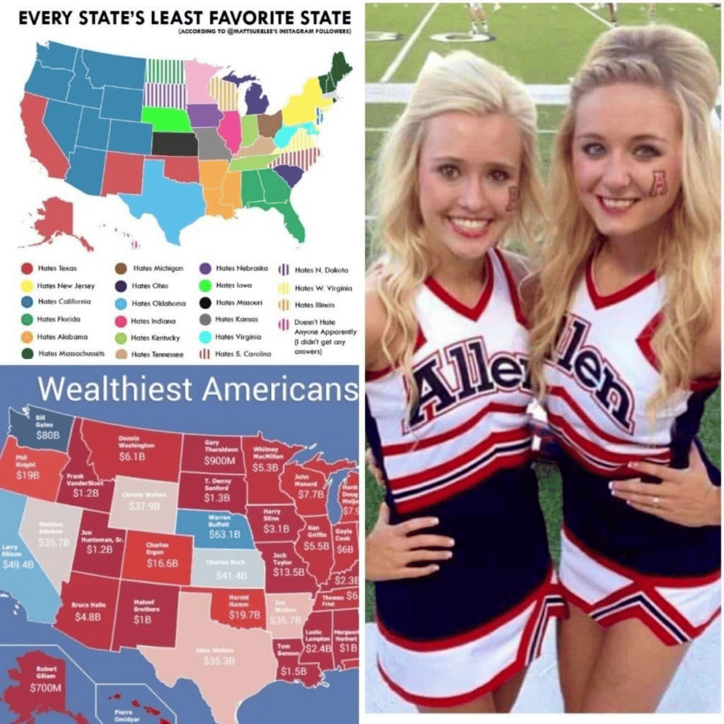
Least favorite
Okay, so we are starting this list off with a bit of a negative outlook on the nation we call the United States of America. Here we can see clearly all the rivalries going on within the country and between states. It seems that nobody boarding California actually likes that state at all.
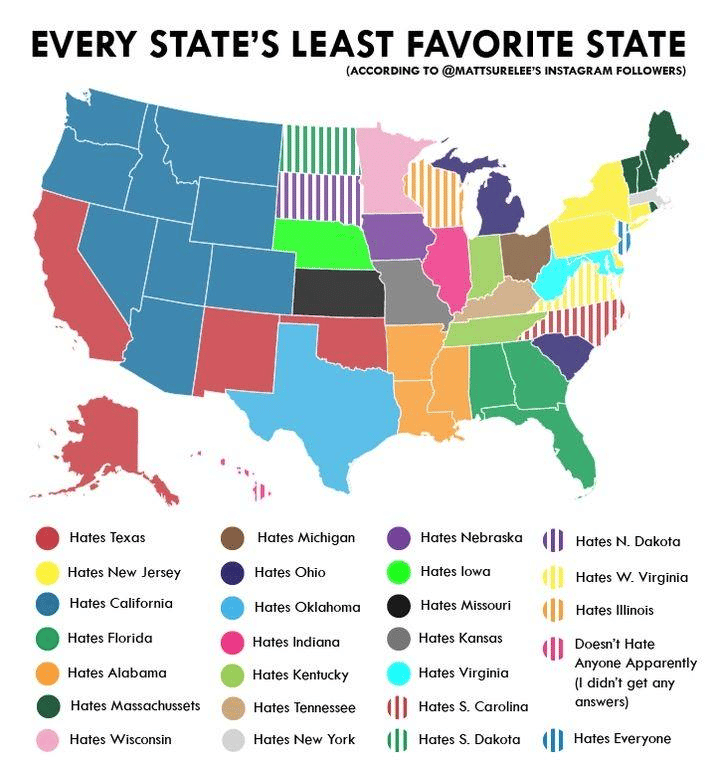
We were expecting more hate for New York City because usually the largest cities always get the most smack, but we were happily surprised. It would appear that California is the least-liked state in the Union, we wonder why that is, perhaps it’s just because all the glitz and glamour is over there.